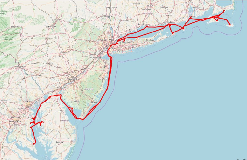
As was the passage north, the passage south was nearly as perfect! From Port Washington to Galesville is right at 270 nm.
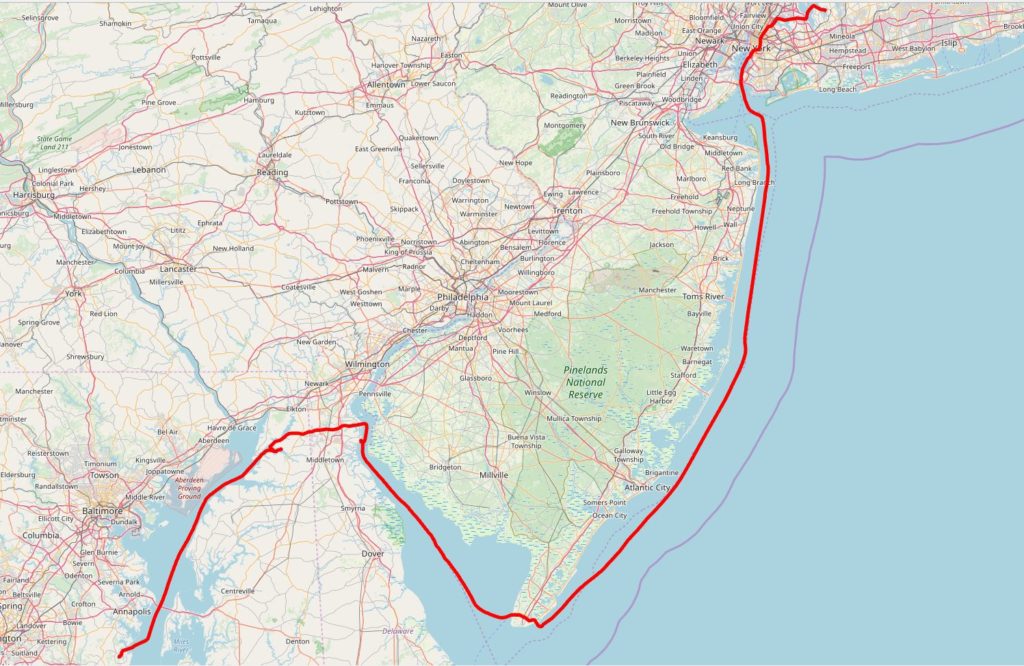
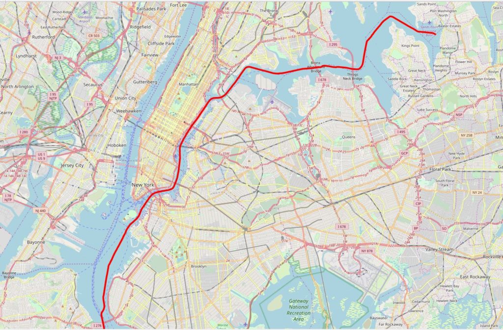
First section, from Port Washington down to the Battery in Lower Manhattan does take some planning. The currents through this section are wicked so you have to think it through. On the recommendation of our friends SV Cutting Class we use the method outlined here: https://www.offshoreblue.com/cruising/east-river-planning.php
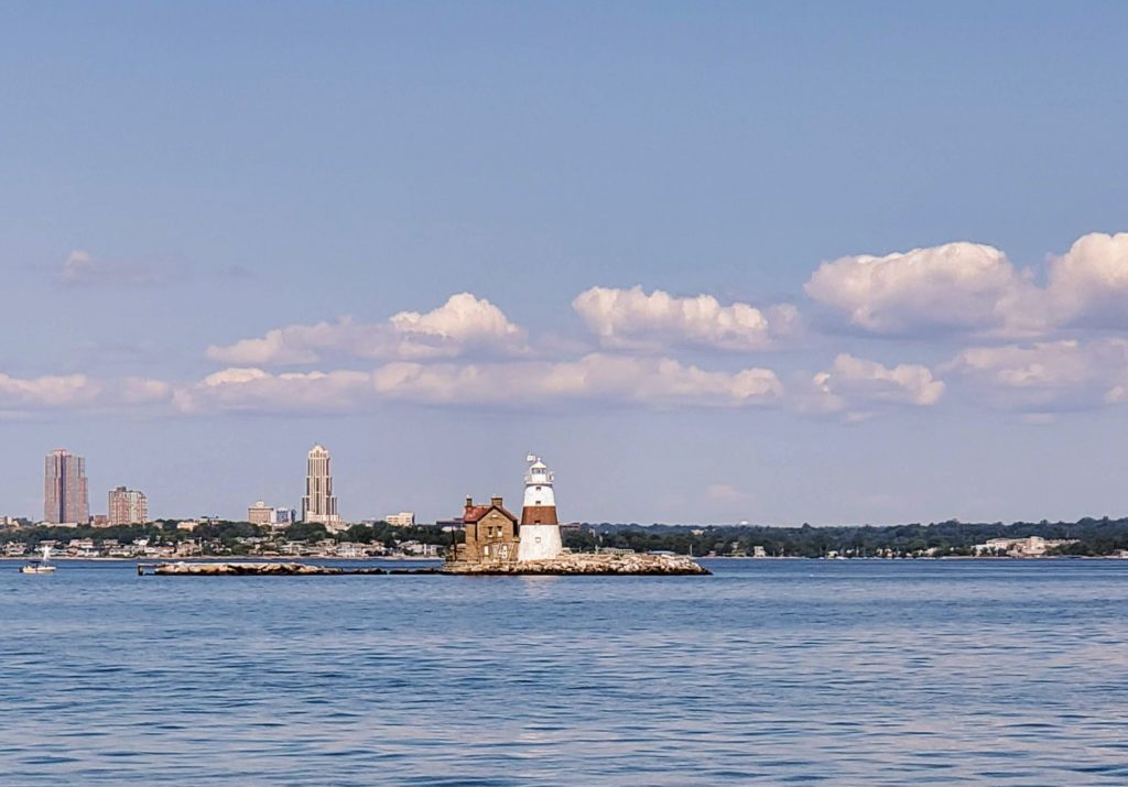
Execution Rocks Light – https://en.wikipedia.org/wiki/Execution_Rocks_Light
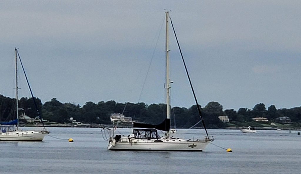
This was the same model as SV Magnolia, a Morgan 44. I picked out of the crowded mooring field at 400 yards…such a great boat
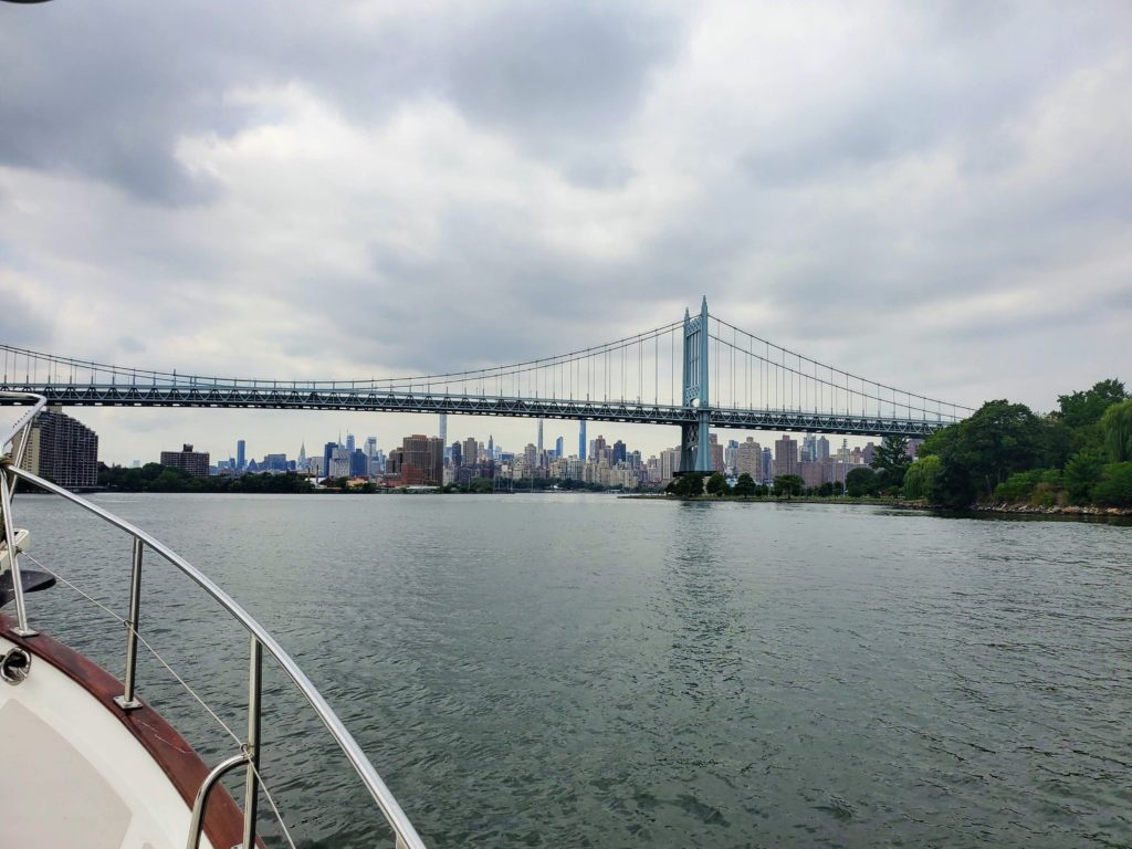
The journey begins as we approach Throgs Neck Bridge – https://en.wikipedia.org/wiki/Throgs_Neck_Bridge
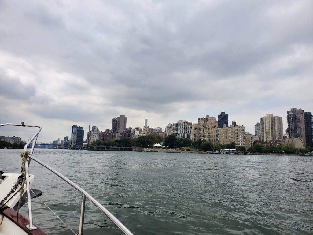
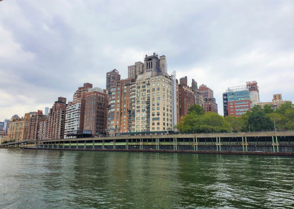
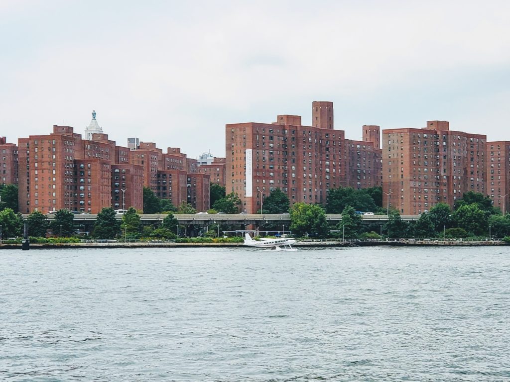
NYC Upper East Side – East River
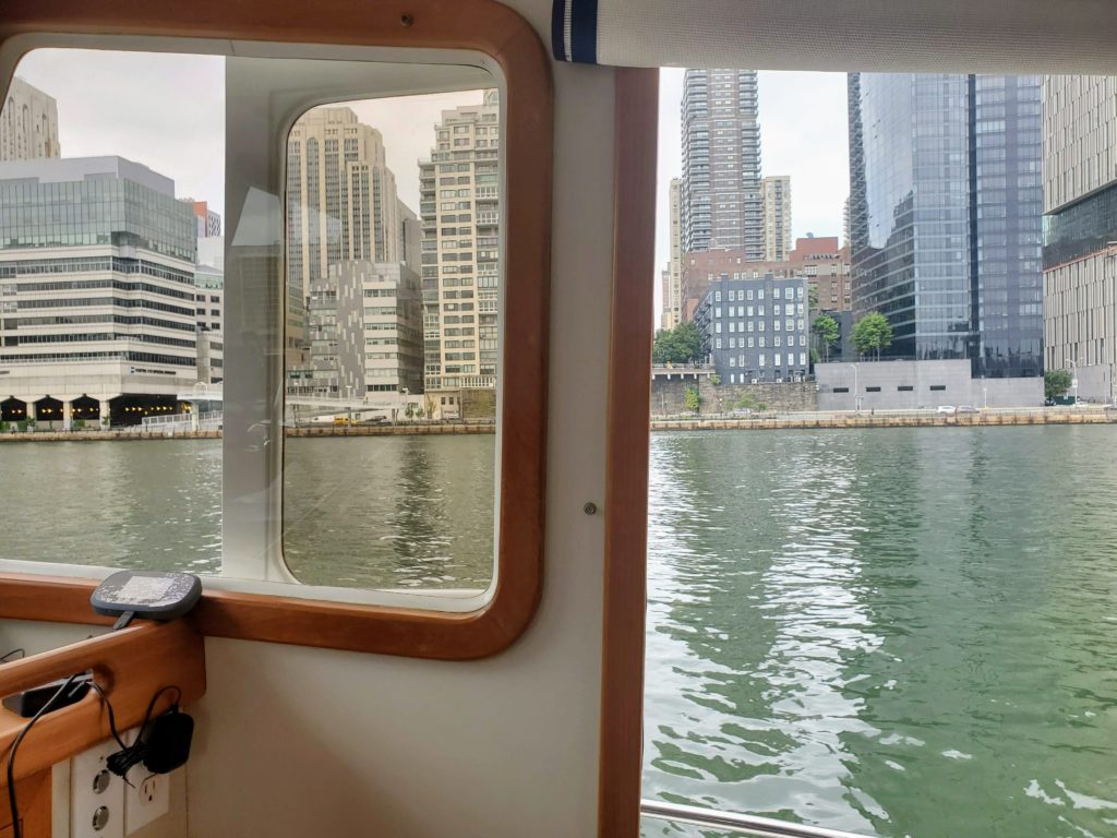
Traffic moving well on the FDR Drive – https://en.wikipedia.org/wiki/FDR_Drive
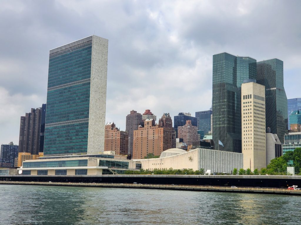
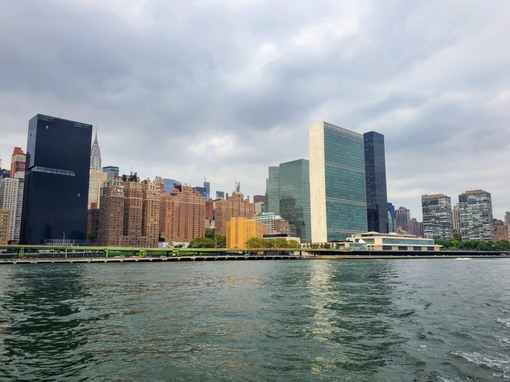
United Nations – https://en.wikipedia.org/wiki/Headquarters_of_the_United_Nations
This is how the well healed commute to the Hamptons $595 one way
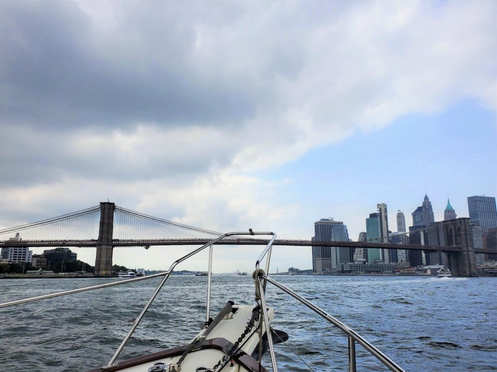
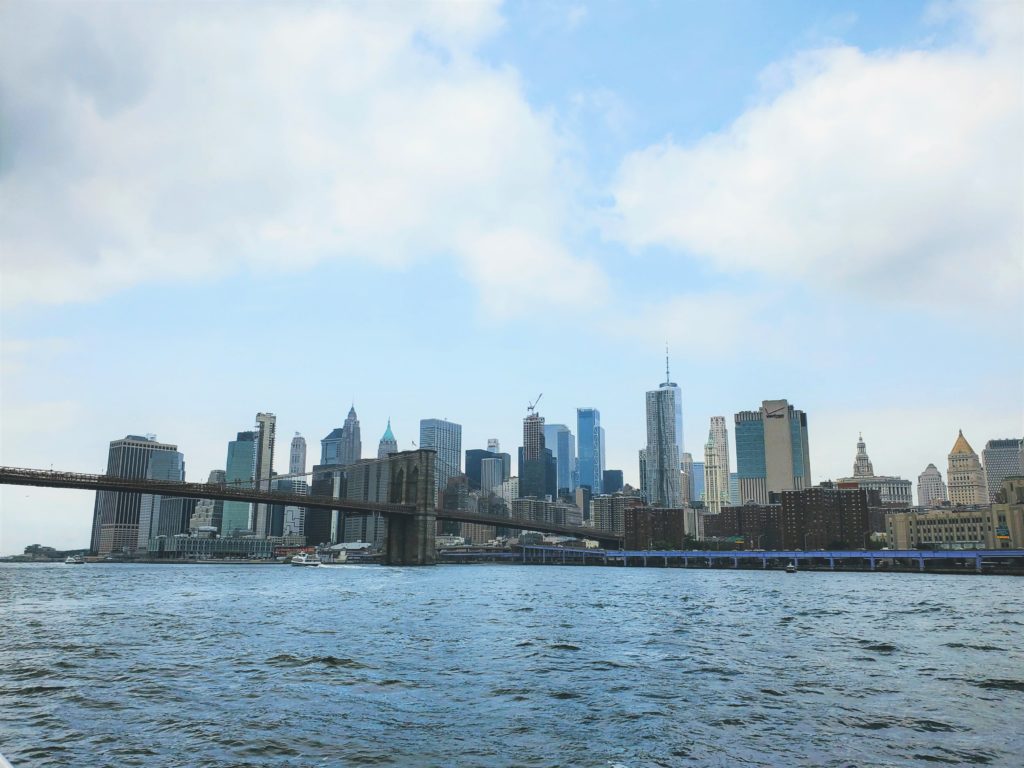
Brooklyn Bridge – https://en.wikipedia.org/wiki/Brooklyn_Bridge
We generally stay SE of Governors Island to avoid the busiest ferry routes out of Lower Manhattan. Note each of those dotted lines a ferry route. ( https://en.wikipedia.org/wiki/Governors_Island )
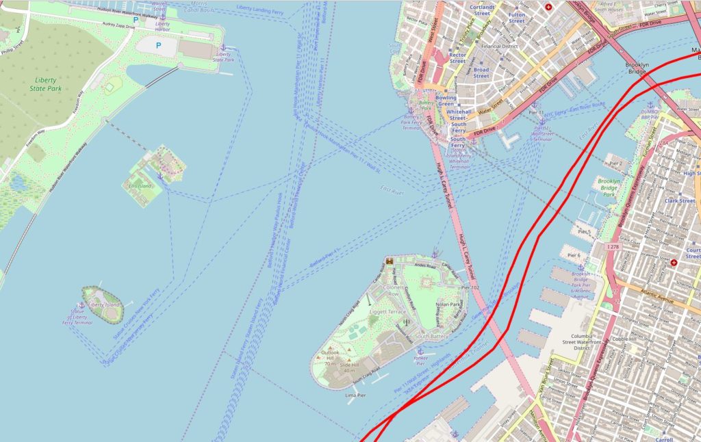
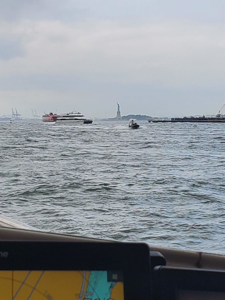
Statue of Liberty as seen from East River/Buttermilk Channel ( https://en.wikipedia.org/wiki/Buttermilk_Channel ) near Governors Island
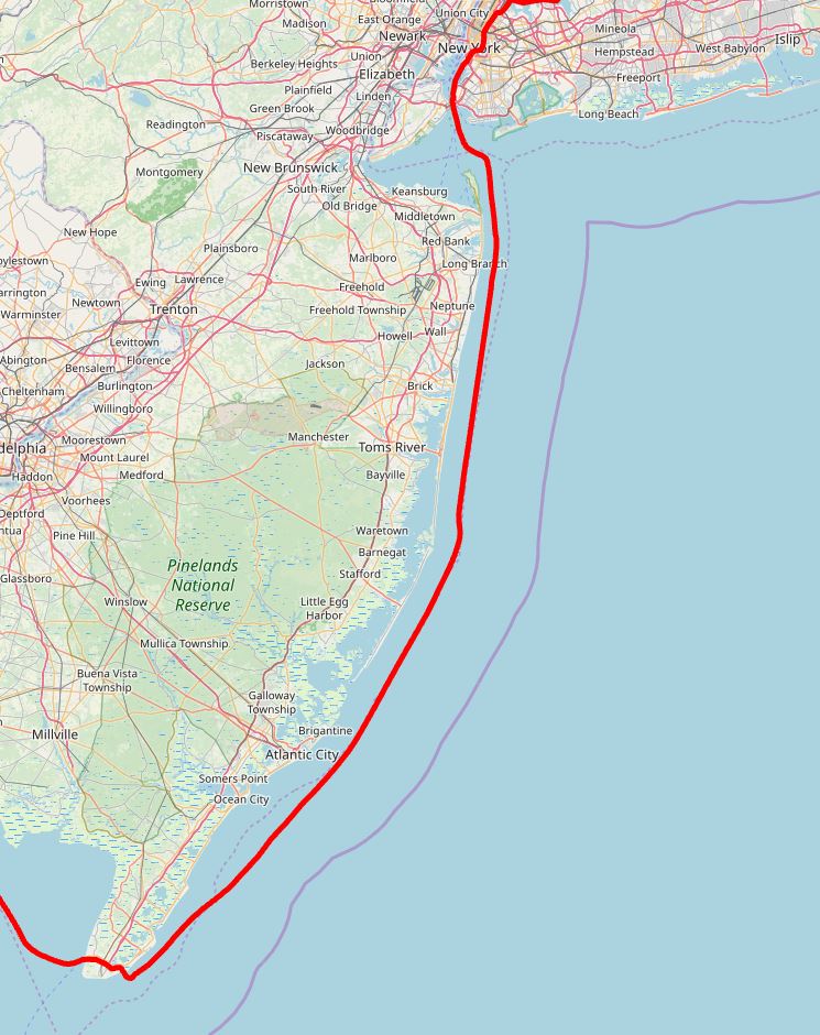
Once we transit under the Verrazzano-Narrows Bridge we are bound for sea…in truth though we run the 3 mile line all the way down the coast of NJ.
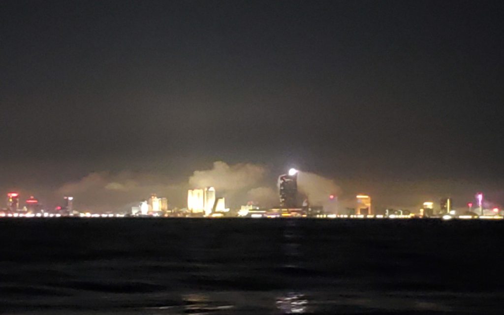
This was passing Atlantic City NJ about 02:30 AM
There are some shoals at the cape on the south end of New Jersey. It it is light it is just easier and saves us 10 miles to cut through the Cape May Canal and into the Delaware Bay
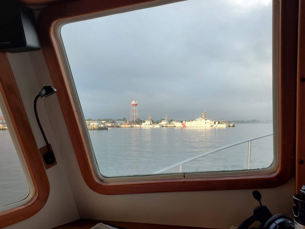
Cape May Coast Guard Station – https://en.wikipedia.org/wiki/United_States_Coast_Guard_Training_Center_Cape_May
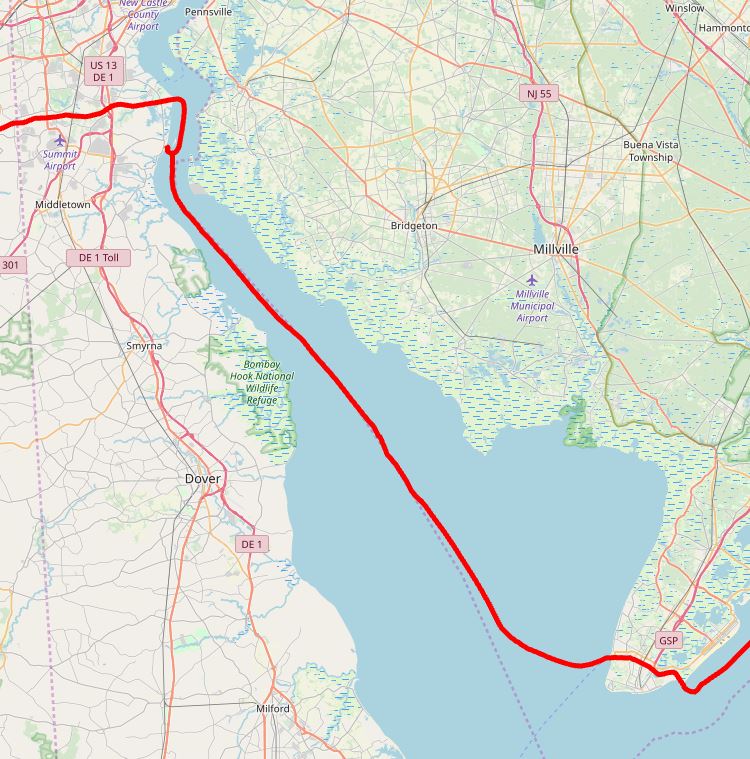
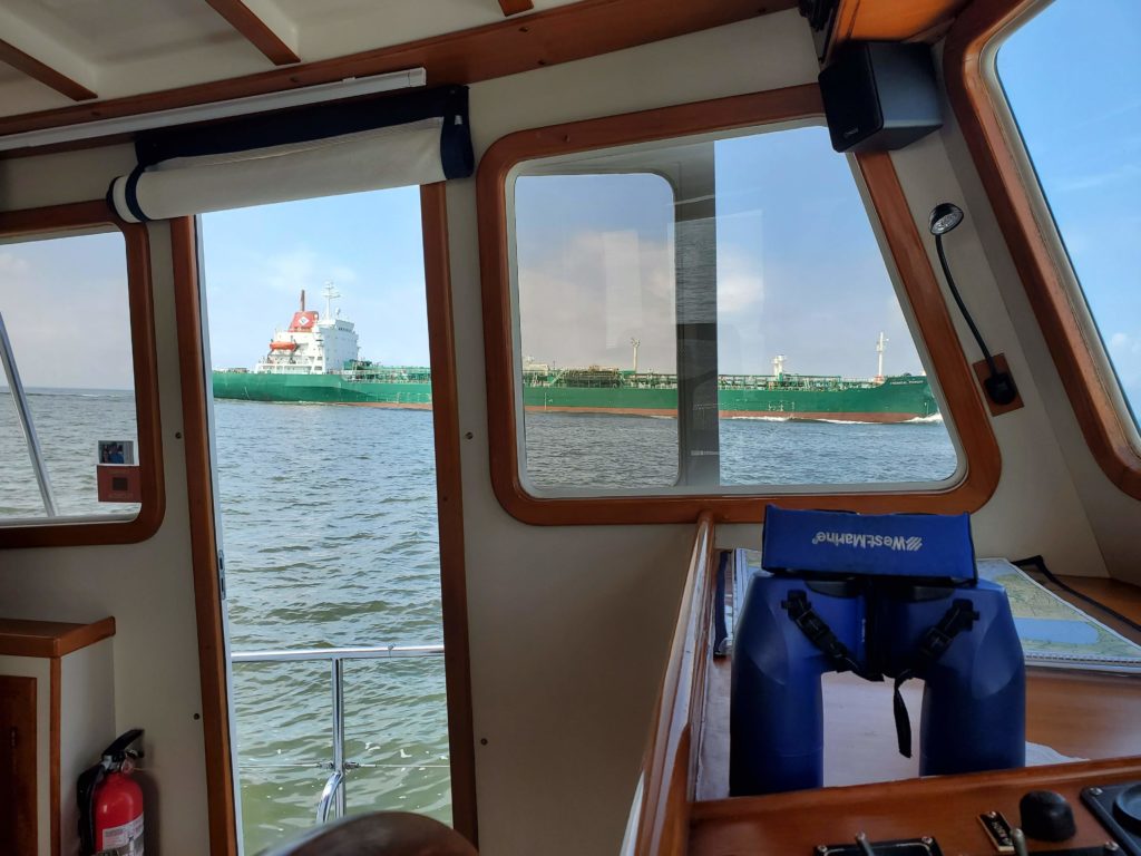
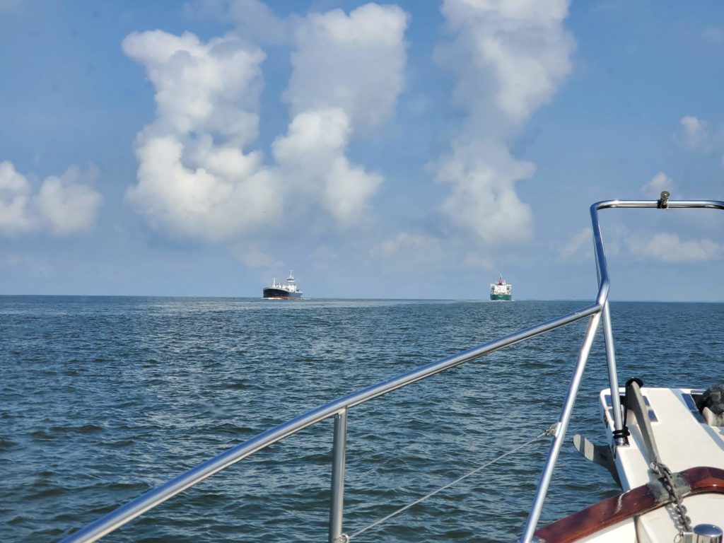
An amazing amount of ship traffic in the Delaware Bay – https://en.wikipedia.org/wiki/Delaware_Bay This is the route that takes ships to Wilmington, DE as well as Philadelphia, PA
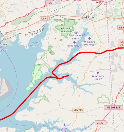
After 200 Miles and about 28 hours we pulled and dropped the anchor at Reedy Point before transiting the Chesapeake & Delaware Canal ( https://en.wikipedia.org/wiki/Chesapeake_%26_Delaware_Canal )
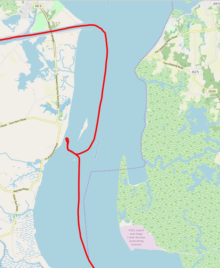
The anchorage is fully protected by a sometimes submerged sea-wall. The swift currents and the somewhat narrow entrance requires close attention.
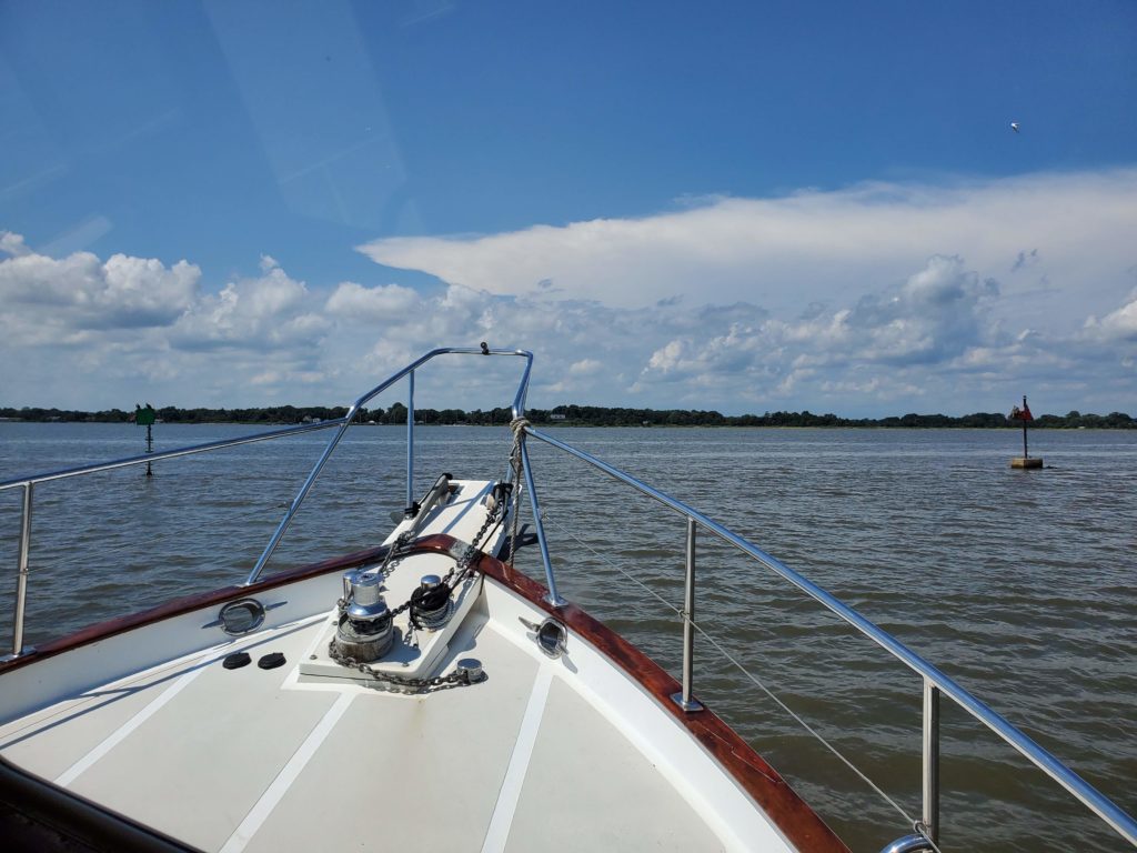
After a good nights sleep it was a leisurely 20 mile passage through the C&D Canal to the Bohemia River ( https://en.wikipedia.org/wiki/Bohemia_River ) to catch with SV Kismet ( Jim & Laurie). We last crossed paths in Montauk, NY. Since then we of course went to New England and they made a trip up the Hudson River. Of course there was more talking than picture taking…have to get better!!
Monday morning Magnolia was underway before dawn to take advantage of a fare current. It was a long hot day heading down the Chesapeake Bay ( https://en.wikipedia.org/wiki/Chesapeake_Bay )
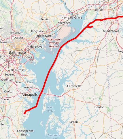
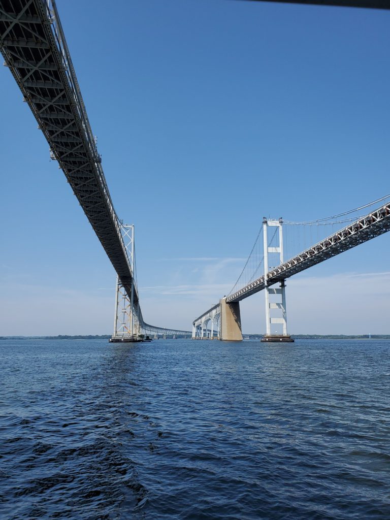
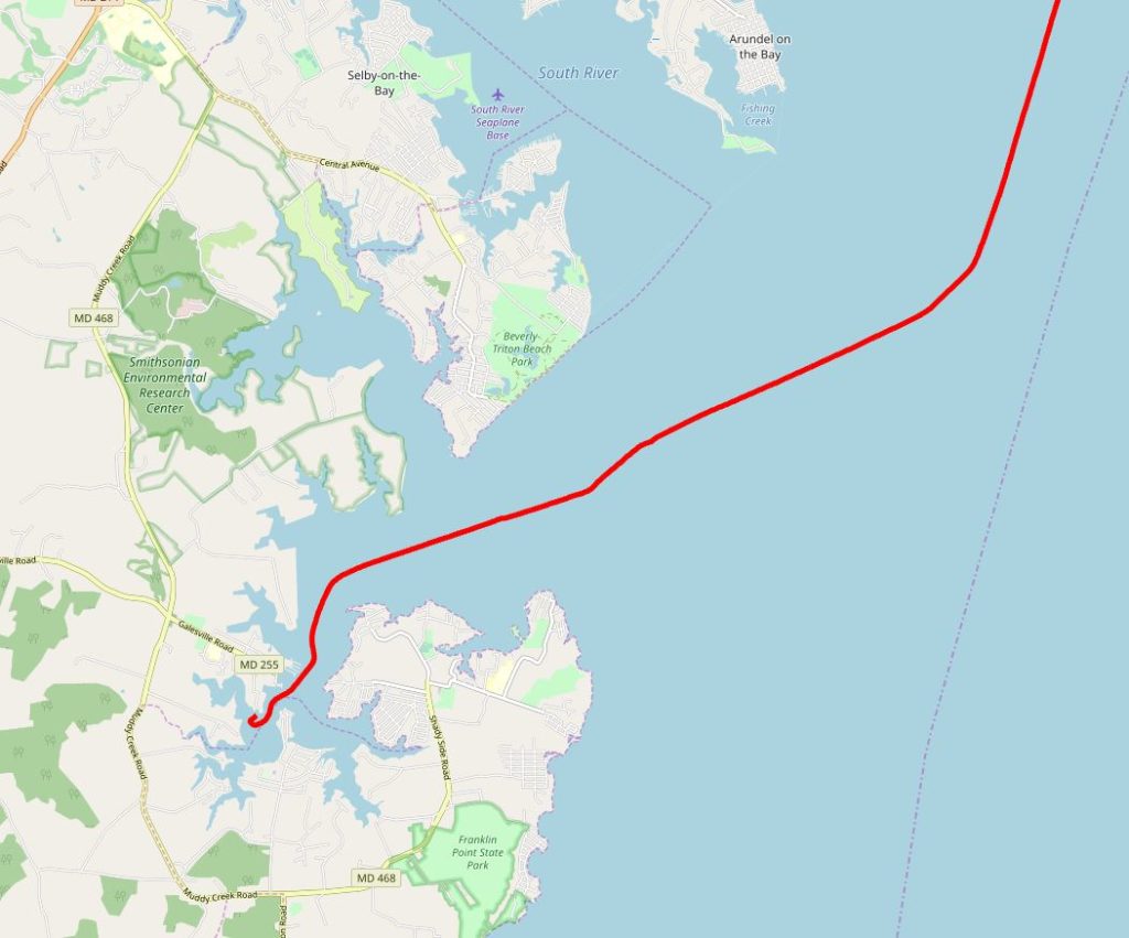
Near the Annapolis MD we pass under the Chesapeake Bay Bridge and nothing says like we are like that moment.
From there 10 miles down to the West River and into Hartges Yacht Harbor ( https://www.hartgeyachtharbor.com/ )
We have had an amazing summer! It was just under 1200 miles, we visited friends and memories every mile. Thank you all who shared your time with us…it was great! Kindred Spirit where too next???